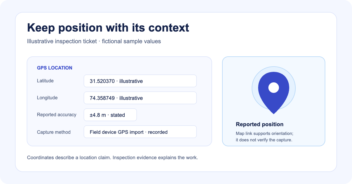
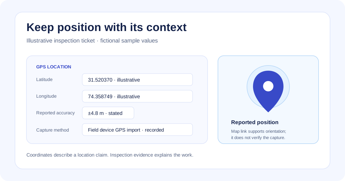
A map pin can locate an inspection record and still leave the reviewer unsure where the coordinates came from. The capture method and the reported accuracy belong beside the values they describe.
Latch ticket types can include numeric Latitude, Longitude, and GPS Accuracy fields. When a valid coordinate pair is present, the ticket shows a location card with the coordinates, any recorded accuracy, and a map link.
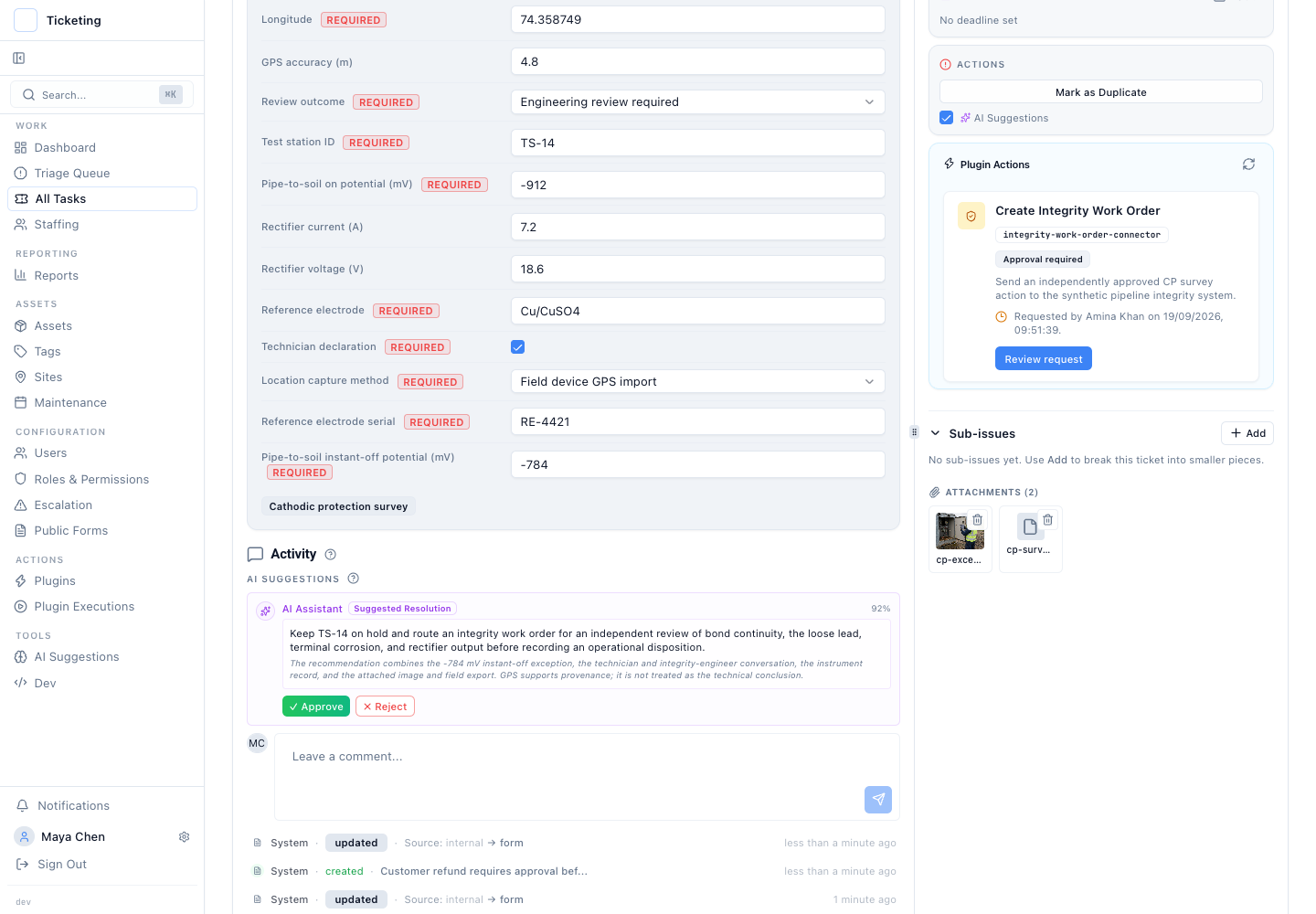
Synthetic fictional survey data; frozen Classic screenshot captured 2026-09-19.
Store the position and its stated source
In a fictional cathodic-protection survey, a technician records a test-station reading, the latitude and longitude, a reported accuracy, and a location capture method. The ticket type can make the coordinate fields required and add ordinary fields for collection time, method, instrument, or source file.
The GPS values are numeric ticket fields. An operator supplies them from the field process or device import and records the source in the inspection workflow. The form checks latitude and longitude ranges; the GPS Accuracy field records a number in metres. When both coordinates are valid, the ticket editor groups them into a location card and links to those coordinates on a map.
The map link helps someone open the recorded position. It does not verify that the capture device was at that point. The number in an accuracy field is reported information, not a guarantee of precision. Latch checks coordinate format and range and accepts accuracy as a numeric field; those checks do not certify a measurement or location.
Keep location beside the inspection evidence
Coordinates answer where a record says the inspection happened. They do not explain what was measured or what an operator observed. Keep the test point, survey type, units, collection time, source method, photos, and original field export with the ticket when they matter to the review.
In the synthetic TS-14 example, a location method and reported accuracy appear with the inspection readings and supporting attachments. The displayed workflow state asks for engineering review; it is not a pass/fail assessment. A GPS value cannot validate a pipe-to-soil reading or establish that a repair was performed.
Structured issue fields can also be included as report columns or grouping dimensions. That lets a team inspect which tickets recorded coordinates, accuracy, or a collection method while retaining the ticket as the source record. The nested choice guide explains how to classify an inspection type before collecting its evidence.
Decide what a complete record requires
Make both coordinate fields required when work cannot be reviewed without a location. Reported accuracy can remain optional if the field process does not provide it every time. A capture method field can distinguish a field-device import from a manually entered value, but it remains a recorded claim that the reviewer should interpret in context.
Use one task per site in a rollout when the work spans multiple locations. Use the inspection report builder to explore workflow inputs before turning them into a ticket process. The cathodic-protection walkthrough demonstrates fixed synthetic inspection records and their review path.
The useful record keeps the coordinate, its stated source, and the inspection evidence connected. The reviewer can use the map link to orient themselves, then rely on the field record and approved procedure to judge the work.